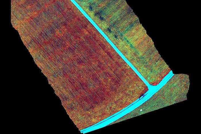
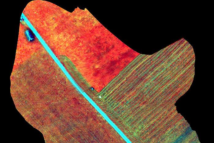
Airborne Hyperspectral Imaging
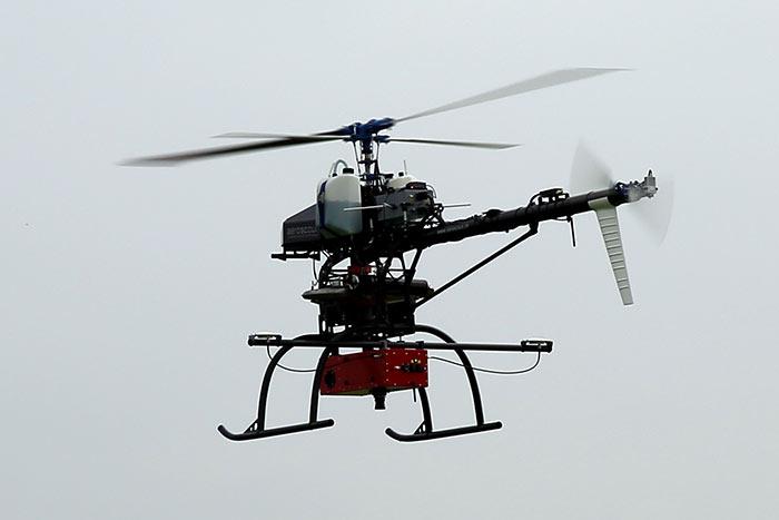
In the recent years, Aeroscout gained deeply knowledge of integrating high precision industrial sensors for survey and scientific applications on UAV helicopters. As a logical consequence, Aeroscout integrated the AisaKESTREL 10 hyperspectral imaging camera developed by Specim.
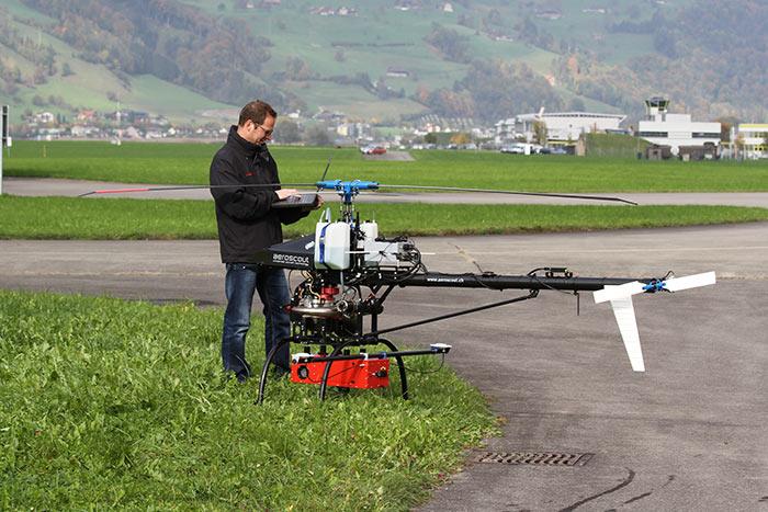
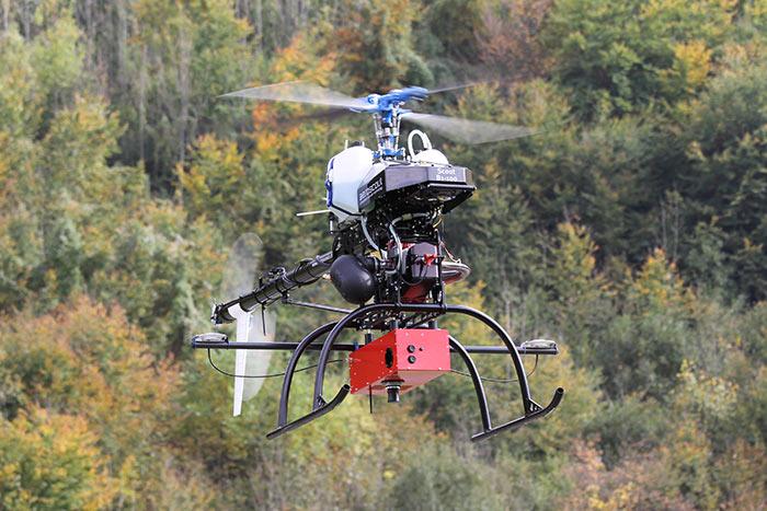
The AisaKESTREL 10 is especially designed for UAVs, but makes no compromises in data quality compared to heavier sensors which are traditionally used on manned aircrafts. With its 5kg, the AisaKESTREL 10 fits perfectly on the Scout B1-100 UAV helicopter which can carry a maximum of 18kg. It leaves enough free payload capacity to integrate a high-grade dual-GPS antenna INS/GPS navigation system as well as a broadband datalink, batteries and an advanced vibration damping system. This combination of components and UAV leads to great usability paired with an outstanding data quality.
During the mission flight, the onboard scanning process can be monitored by the well-proven ALMI software (airborne laser scanning) on the ground control laptop. The ALMI software was adapted to the special requirements of hyperspectral imaging.
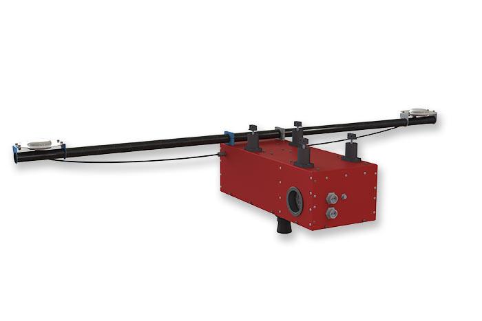
aisaKESTREL 10 Facts
| Spectral range | 400 - 1000nm |
| F/# | F/2.4 |
| Smile/Keystone | <0.5pixel |
| Signal-to-noise ratio (peak) | 400 - 800 |
| Spatial resolution | 1312 or 2048pixel |
| Field of view | 40° |
Typical Scenario
| Area covered [km2] | 1 |
| Points density [pts/m2] | 200 |
| Mission duration [min] | 60 |
| Flight velocity [m/s] | 6 |
| Flight altitude [m AGL] | 100 |
| Scanning angle (fix) [deg] | 40 |
| Spatial resolution[-] | 2048 |
| Frame rate [Hz] | 50 |